Open for feedback
Until
Online submission
July 16, 2026
July 24, 2026
June 14, 2026
September 27, 2024
July 31, 2024
June 26, 2024
July 7, 2024
May 31, 2024
February 29, 2024
May 19, 2024
March 31, 2024
April 5, 2024
February 15, 2024
View soil sampling data for your property.
View and download your consolidated debris removal closeout package
View the submission status of your Right-of-Entry (ROE) form
View the wastewater service status in fire-impacted areas
View Unsafe Water Advisory Areas
Evaluate drinking water quality to help facilitate restoration of the drinking water system.
EPA’s work will evaluate drinking water quality to help facilitate restoration of the drinking water system.
View Lahaina’s Reentry Zones and Zone status.
View the structural safety assessment of your property
View the impacted areas of the Maui Wildfire
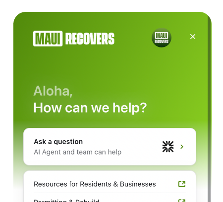
Teams are ready to support you whether you're a resident or business.
Ask our online help center.
Permanent Housing
Temporary Housing
Rental Housing
Contractor Access
Shoreline Permitting
Recovery Dashboard
Related topics to Debris Removal
Ineligible Debris Disposal
Debris Containment & Relocation
Debris Removal Resources
Electrical Service Restorations
Water Meter Installation
Wastewater
Wastewater Service Status
USACE's Debris Removal Clean-up Status
Consolidated Debris Removal Closeout Package
Re-entry Zones
Resource Center
Housing Resources
Financial Support
Mental Health
Business Resources
Food & Supplies
Medical Care
Unemployment Relief
Work & Training opportunities
Find resources for those who are looking to get or offer support to Maui residents & businesses.
Get the latest Wildfire updates that directly assist those who have been affected by the Maui Wildfires.

.svg)
.svg)
.jpg)